DISMapper tutorial
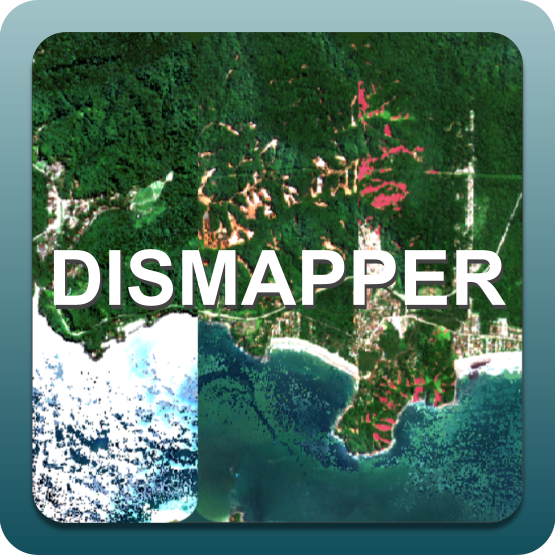
The service targets the automated detection of significant changes in a landscape that can be triggered by natural disasters (e.g. landslides, burnt areas). It is based on the analysis of a multi temporal stack of optical images acquired before and after the event. It supports calibrated datasets from the Sentinel-2 mission. Output of the service is a set of intensity and binary mask from detected changes.
 DISMapper service description and specifications are available in this section.
Warning
The DISMapper tutorial is under development. Please refer to service specifications only.